


Category 3 Hurricane Polo nears Baja California landfall Monday
11 sourcesUpdated Sep 28, 20264 min read
San Juanico is a small fishing community on Baja’s Pacific coast, one of the towns in the hurricane’s projected path, and the latest census counts fewer than 1,000 residents there. On Sunday, army soldiers arrived to prepare a shelter and provide support for possible emergencies. Gloriely Robles Meza, who manages a small hotel in the town, spoke for the people living through the approach.
“Our people are concerned about this event,” Robles Meza said.
The town has only had full-time electricity for a few years. Frequent outages remain ordinary. The roads are a separate vulnerability. Washed-out roads could block access to the closest medical facility, and a break in that route would leave the fishing community cut off. Places like San Juanico depend on limited corridors rather than any dense web of alternate paths.
“We haven’t faced such a worrying situation in many years,” she said.

With the soldiers on the ground to stand the shelter up, San Juanico had at least one place ready if homes became unsafe. The same Sunday, the first wave of barriers and closures was already taking shape on other parts of the coast.
Lifeguards raised red flags on the beaches of Baja California Sur to alert holidaymakers of the hazardous sea conditions. Yellow tape went up on Medano Beach in Cabo San Lucas, and sandbags were placed through the town. Authorities cut off beach access and suspended maritime activities in the high-risk areas. Some restaurants closed in Cabo San Lucas, a town that serves as a base for sport fishers and whale watchers.
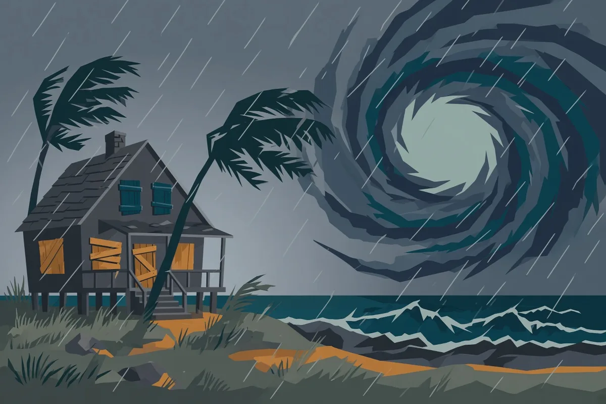
Overnight, restaurant and store owners in the small coastal towns of Loreto and Ciudad Constitucion boarded up doors and windows to protect their businesses, expecting later conditions to hamper the work. Residents stocked drinking water and food. The regional government of Baja California Sur ordered schools to remain closed on Monday as a preventive measure.
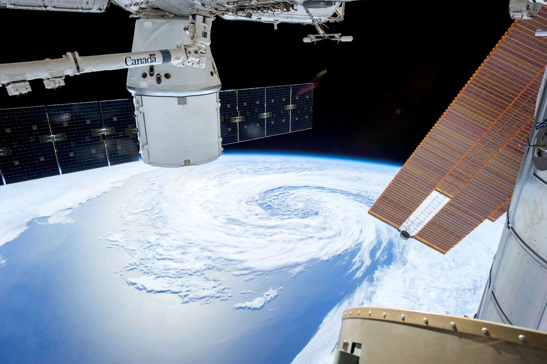
Polo had already come down from Category 5, the top rung of the Saffir-Simpson scale that ranks hurricanes by sustained wind speed, and stood at Category 3 as the Monday landfall window approached. A Category 3 storm is still a major hurricane. Sunday and Monday advisories held its maximum sustained winds near 115 to 125 mph, or 185 to 205 km/h.
Those winds reached well beyond the eye. Hurricane-force winds extended up to 40 nautical miles from the center; gale-force winds stretched as far as 90. Near the core, wave heights were estimated at 10 to 12 meters, 33 to 39 feet.
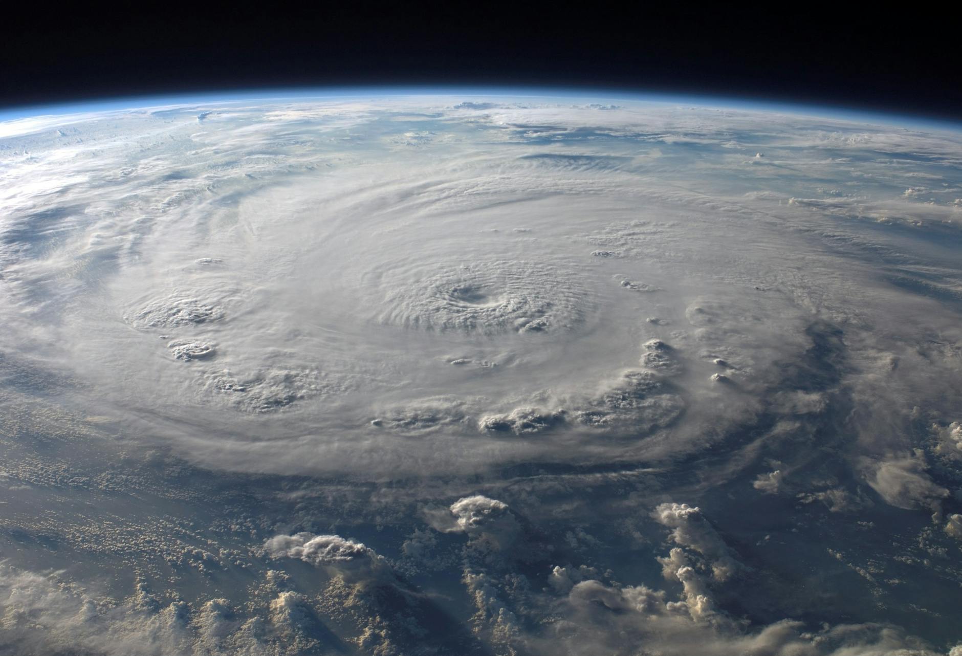
The number that set Polo apart was the pressure crash that had built it. Central pressure fell to 892 millibars. That was a drop of 88 millibars in under 24 hours, among the top three historic rapid-intensification cases in the Pacific.
Successive position fixes placed the center roughly 125 to 270 miles from Cabo San Lucas or Cabo San Lazaro, the range shifting with each advisory. The storm was moving north and north-northwest at 10 to 12 mph, still closing on the peninsula.
Bob Oravec, the National Weather Service lead forecaster, said Pacific activity was running above average at the peak of the season, a pattern consistent with El Niño years when warmer Pacific waters and lower shear favor more storms. A powerful El Niño was already fueling the basin. Meteorologists said Polo itself was being fuelled by those extremely warm waters.
The track had complicated every round of preparation. Polo earlier moved parallel to Mexico’s southwestern coast, forcing evacuations, school closures, and port restrictions without landfall before curving back toward Baja California Sur. Communities that had already cleared ports and emptied classrooms once now faced the same system returning, still major, still closing.
By Monday morning, 78 people had already been moved into a shelter in Ciudad Constitucion. Temporary shelters were open in five municipalities across Baja California Sur after Governor Víctor Manuel Castro Cosío made them available for anyone who needed to leave home.
Laura Velazquez, head of Mexico’s civil protection agency, set the instruction in a Monday press conference. “The main recommendation is for people to stay in their homes; and if there is any risk at their homes, they should move to temporary shelters,” she said.
The hours still left carried a clear rainfall threat: 4 to 8 inches expected across Baja California Sur, with isolated totals of 10 to 12 inches, and flash-flood and mudslide risk in steep terrain. Federal authorities had deployed navy and army personnel along with specialised machinery. The Mexican navy staged personnel and humanitarian aid at Guaymas and Mazatlan and held vessels ready for coasts that could be cut off.
Polo was expected to make its first landfall on the Pacific coast of Baja California Sur on Monday afternoon or evening. Laura Velazquez placed the window between 4 and 6 p.m. local time. The storm was still forecast to arrive near major-hurricane strength.
After that crossing, the track turned toward a second landfall in southern Sonora late Monday or early Tuesday. Interaction with the peninsula’s terrain was expected to weaken the circulation, yet forecasters said Polo could reach mainland Mexico still as a hurricane before dissipating inland. Southern Sonora faced 4 to 6 inches of rain, with isolated totals of 8 inches, and the flash-flood and mudslide risk that comes with heavy rain on steep ground. Tropical moisture from the system was also flagged for later flash-flood risk into parts of the U.S. Desert Southwest.
In Ciudad Constitucion, the shelter already held its 78 people as that Monday afternoon window opened.
How it spread
Category 3 strength still means serious wind damage on landfall.
Flash flood risks in the Desert Southwest deserve extra attention now.
Authorities did well to close ports before the high surf arrives.