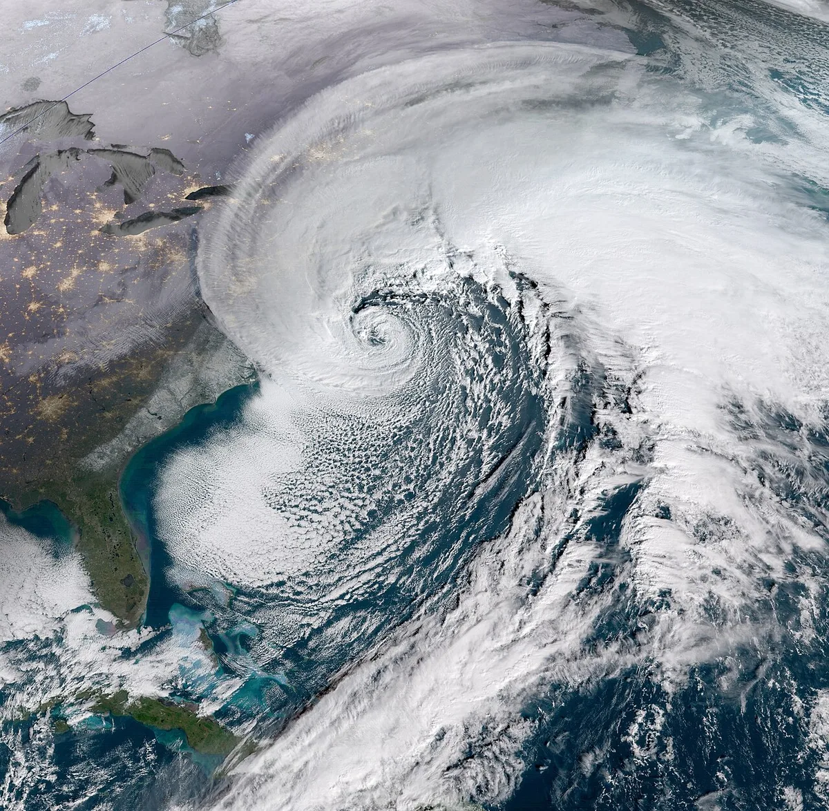
Nor’easter Floods Outer Banks, Threatens New England
A strengthening nor’easter is moving up the East Coast and is expected to bring New England heavy rain, damaging winds, coastal flooding and beach erosion through the weekend, with downed trees and power outages also possible. Forecasters warn that the storm’s track could shift the worst impacts, while high tides may worsen flooding and road closures along the coast.
Weather · 21 sources · 1dRead itThe journal
Open the journal →The conversation starts in the journal — be the first to post.
About North Carolina Highway 12
North Carolina Highway 12 (NC 12) is a 148.0-mile-long (238.2 km) primary state highway in the U.S. state of North Carolina, linking the peninsulas and islands of the Outer Banks. Most sections of NC 12 are two lanes wide, and there are also two North Carolina Ferry System routes which maintain continuity of the route as it traverses the Outer Banks region. NC 12 is part of the Outer Banks Scenic Byway, a National Scenic Byway. The first NC 12 appeared on the 1924 North Carolina Official Map and at its greatest length ran from NC 30 in Pollocksville to NC 48 near Murfreesboro. Over time it was replaced by both U.S. Route 258 (US 258) and NC 58 and ceased to exist in 1958. The current NC 12 first appeared on the 1964 state highway map running from US 158 in Nags Head to Ocracoke. In 1976 NC 12 was extended to US 70 on the mainland and in 1987 was extended north to Corolla.
Everything about North Carolina Highway 12 →- Country
- United States
- Inception
- 1962